Tinée
Alpes-Maritimes geography stubsBraided rivers in FranceFrance river stubsPages with French IPARivers of Alpes-Maritimes ... and 3 more
Rivers of FranceRivers of Provence-Alpes-Côte d'AzurTributaries of the Var

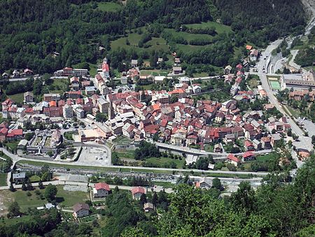
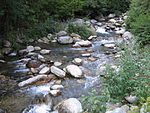
The Tinée (French pronunciation: [tine]; Occitan: Tiniá) is a river that flows through the Alpes-Maritimes department of southeastern France. It is 69.9 km (43.4 mi) long. Its drainage basin is 743 km2 (287 sq mi). Its source is on the east side of the Col de la Bonette, in the Maritime Alps. It flows through Saint-Étienne-de-Tinée, Isola and Saint-Sauveur-sur-Tinée, and it flows into the Var near Utelle. The Guercha and the Vionène are its tributaries.
Excerpt from the Wikipedia article Tinée (License: CC BY-SA 3.0, Authors, Images).Tinée
M 2205, Nice
Geographical coordinates (GPS) Address Nearby Places Show on map
Geographical coordinates (GPS)
| Latitude | Longitude |
|---|---|
| N 43.911666666667 ° | E 7.1852777777778 ° |
Address
M 2205
06450 Nice
Provence-Alpes-Côte d'Azur, France
Open on Google Maps


