Rheinfelden District
Districts of AargauSwitzerland geography stubs

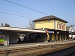
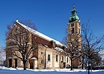
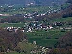
Rheinfelden District lies in the northwest of the canton of Aargau in Switzerland, in the Fricktal region. Its capital is Rheinfelden. Around 88% of the population live in the conurbation of Basel. There are 14 municipalities, with a population of 48,164 (as of 31 December 2020) living in an area of 112.09 km2. The population density is around 355 persons per square kilometre.
Excerpt from the Wikipedia article Rheinfelden District (License: CC BY-SA 3.0, Authors, Images).Rheinfelden District
Gerstenweg,
Geographical coordinates (GPS) Address Nearby Places Show on map
Geographical coordinates (GPS)
| Latitude | Longitude |
|---|---|
| N 47.55 ° | E 7.7833333333333 ° |
Address
Gerstenweg 49k
4310 , Augarten
Aargau, Switzerland
Open on Google Maps


