Mattapan

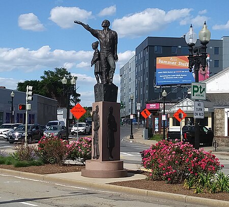
Mattapan () is a neighborhood in Boston, Massachusetts. Historically and for legal processes a section of Dorchester, Mattapan became a part of Boston when Dorchester was annexed in 1870. Mattapan is the original Native American name for the Dorchester area, possibly meaning "a place to sit." At the 2010 census, it had a population of 36,480, with the majority of its population immigrants. Like other neighborhoods of the late 19th and early 20th century, Mattapan developed, residentially and commercially, as the railroads and streetcars made downtown Boston increasingly accessible. Predominantly residential, Mattapan is a mix of public housing, small apartment buildings, single-family houses, and two- and three-family houses (known locally as three-deckers or triple-deckers). Blue Hill Avenue and Mattapan Square, where Blue Hill Avenue, River Street, and Cummins Highway meet, are the commercial heart of the neighborhood, home to banks, law offices, restaurants, and retail shops. The new Mattapan Branch of the Boston Public library opened 2009, at a cost of more than $4 million. Mattapan has a large portion of green space within the neighborhood. The Harambee Park, the Boston Nature Center and Wildlife Sanctuary, Clark-Cooper Community Gardens, and historic Forest Hill Cemetery can all be considered by some green space within the neighborhood of Mattapan. Mattapan's demographics are diverse, with a large population of Haitians, Caribbean immigrants, and African Americans. Mattapan has public services such as a recently renovated community health center, and constable services. Mattapan MBTA Station is the last stop of the Red Line Extension Trolley which is accessible via Ashmont and other points along the route in Dorchester and Milton.
Excerpt from the Wikipedia article Mattapan (License: CC BY-SA 3.0, Authors, Images).Mattapan
Gladeside Avenue, Boston Mattapan
Geographical coordinates (GPS) Address Nearby Places Show on map
Geographical coordinates (GPS)
| Latitude | Longitude |
|---|---|
| N 42.272222222222 ° | E -71.086944444444 ° |
Address
Gladeside Avenue 61
02126 Boston, Mattapan
Massachusetts, United States
Open on Google Maps


