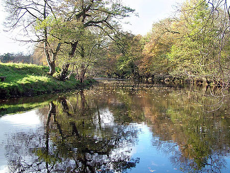
River Derwent, Derbyshire

The Derwent is a river in Derbyshire, England. It is 50 miles (80 km) long and is a tributary of the River Trent, which it joins south of Derby. Throughout its course, the river mostly flows through the Peak District and its foothills. Much of the river's route, with the exception of the city of Derby, is rural. However, the river has also seen many human uses, and between Matlock and Derby was one of the cradles of the Industrial Revolution. It is the site of the Derwent Valley Mills, the first industrial-scale cotton mills. Today it provides a water supply to several surrounding cities, and its steep-sided valley is an important communications corridor through the uplands of the Peak District.The scenery of the Derwent valley attracts many tourists. The upper reaches pass through the Peak District National Park, whilst the middle reaches around the old spa town of Matlock Bath offer souvenir shops and amusement arcades, together with attractions such as the Heights of Abraham and its cable car.
Excerpt from the Wikipedia article River Derwent, Derbyshire (License: CC BY-SA 3.0, Authors, Images).River Derwent, Derbyshire
Long Horse Bridge, South Derbyshire Shardlow and Great Wilne
Geographical coordinates (GPS) Address Nearby Places Show on map
Geographical coordinates (GPS)
| Latitude | Longitude |
|---|---|
| N 52.8738 ° | E -1.3203 ° |
Address
Long Horse Bridge
Long Horse Bridge
DE72 2HP South Derbyshire, Shardlow and Great Wilne
England, United Kingdom
Open on Google Maps


