Abingdon-on-Thames

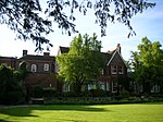
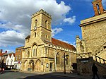
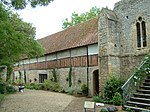
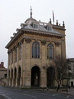
Abingdon-on-Thames ( AB-ing-dən), commonly known as Abingdon, is a historic market town and civil parish in the ceremonial county of Oxfordshire, England, on the River Thames. Historically the county town of Berkshire, Abingdon has been administered since 1974 by the Vale of White Horse district within Oxfordshire. The area was occupied from the early to middle Iron Age and the remains of a late Iron Age and Roman defensive enclosure lies below the town centre. Abingdon Abbey was founded around 676, giving its name to the emerging town. In the 13th and 14th centuries, Abingdon was an agricultural centre with an extensive trade in wool, alongside weaving and the manufacture of clothing. Charters for the holding of markets and fairs were granted by various monarchs, from Edward I to George II. The town survived the dissolution of the abbey in 1538, and by the 18th and 19th centuries, with the building of Abingdon Lock in 1790 and the Wilts & Berks Canal in 1810, Abingdon was on important routes for goods transport. In 1856 the Abingdon Railway opened, linking the town with the Great Western Railway. The canal was abandoned in 1906 but a voluntary trust is now working to restore and re-open it. Abingdon railway station was closed to passengers in September 1963. The line remained open for goods until 1984, its role including serving the MG car factory, which operated from 1929 to 1980. Abingdon's brewery, Morland, makers of Old Speckled Hen ale, was taken over and closed in 1999; the site of the brewery has been redeveloped into housing. The rock band Radiohead formed in 1985 when its members were studying at Abingdon School, a day and boarding independent secondary school. The 2011 Census recorded the parish's population as 33,130. This was 2,504 more than in the 2001 Census total of 30,626, and represented just over 8% growth in the population.
Excerpt from the Wikipedia article Abingdon-on-Thames (License: CC BY-SA 3.0, Authors, Images).Abingdon-on-Thames
Thames View, Vale of White Horse Northcourt
Geographical coordinates (GPS) Address Nearby Places Show on map
Geographical coordinates (GPS)
| Latitude | Longitude |
|---|---|
| N 51.671666666667 ° | E -1.2783333333333 ° |
Address
Waitrose Car Park
Thames View
OX14 3ZB Vale of White Horse, Northcourt
England, United Kingdom
Open on Google Maps
