Langley, Cheshire

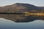
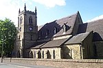
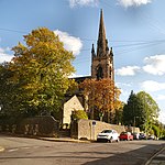
Langley is a semi-rural village in civil parish of Sutton, in the Cheshire East district, in the ceremonial county of Cheshire, England, on the River Bollin, near Macclesfield and Macclesfield Forest. In 2020 it had an estimated population of 554.Langley Mill, founded by William Smith in 1826, became the biggest silk printing, dyeing and finishing works in the world. The mill later went on to become Specialised Automobile Services, a specialist wire wheel manufacturer for classic and modern cars. The painter Charles Tunnicliffe was born in Langley and painted many birds at the four reservoirs behind the village in Macclesfield Forest. The village pub, The St Dunstan, is located on Main Road (the main road through the village). Langley also has a Methodist church and a village hall.
Excerpt from the Wikipedia article Langley, Cheshire (License: CC BY-SA 3.0, Authors, Images).Langley, Cheshire
Langley Road,
Geographical coordinates (GPS) Address Nearby Places Show on map
Geographical coordinates (GPS)
| Latitude | Longitude |
|---|---|
| N 53.241 ° | E -2.092 ° |
Address
Langley Road
Langley Road
SK11 0DH , Sutton
England, United Kingdom
Open on Google Maps


