Karrösten
Cities and towns in Imst DistrictLechtal AlpsMieming RangeTyrol geography stubs

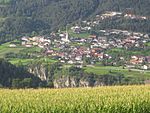
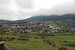
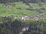
Karrösten is a municipality and a village in the district of Imst, located 1.3 km east of Imst. The village was founded because of mining in the 16th century. Fruits and maize as well as sweet chestnuts flourish on the slopes.
Excerpt from the Wikipedia article Karrösten (License: CC BY-SA 3.0, Authors, Images).Karrösten
Osterstein Kalkofen, Arzl im Pitztal
Geographical coordinates (GPS) Address Nearby Places Show on map
Geographical coordinates (GPS)
| Latitude | Longitude |
|---|---|
| N 47.216666666667 ° | E 10.766666666667 ° |
Address
Osterstein Kalkofen 25
6471 Arzl im Pitztal
Austria
Open on Google Maps


