Jihozápad
NUTS 2 statistical regions of the European UnionSubdivisions of the Czech Republic
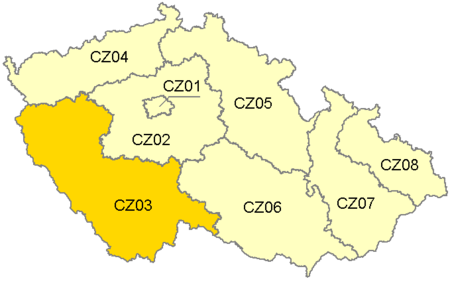
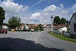
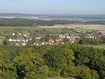
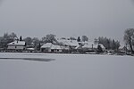
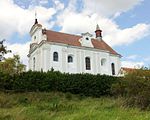
Jihozápad (Southwest) is statistical area of the Nomenclature of Territorial Units for Statistics, level NUTS 2. It includes the Plzeň Region and the South Bohemian Region. It covers an area of 17 617 km2 and 1,214,450 inhabitants (population density 67 inhabitants/km2).
Excerpt from the Wikipedia article Jihozápad (License: CC BY-SA 3.0, Authors, Images).Jihozápad
okres Písek
Geographical coordinates (GPS) Address Nearby Places Show on map
Geographical coordinates (GPS)
| Latitude | Longitude |
|---|---|
| N 49.3279 ° | E 14.0025 ° |
Address
okres Písek, Brloh u Drhovle
Southwest, Czechia
Open on Google Maps

