King Field, Minneapolis
Neighborhoods in Minneapolis

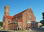
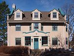
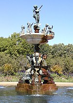
King Field (alternately, Kingfield) is a neighborhood in the Southwest community in Minneapolis, Minnesota. Its boundaries are 36th Street to the north, Interstate 35W to the east, 46th Street to the south, and Lyndale Avenue to the west. King Field, within the King Field neighborhood is a park named after Martin Luther King Jr.
Excerpt from the Wikipedia article King Field, Minneapolis (License: CC BY-SA 3.0, Authors, Images).King Field, Minneapolis
West 42nd Street, Minneapolis Southwest
Geographical coordinates (GPS) Address Nearby Places Show on map
Geographical coordinates (GPS)
| Latitude | Longitude |
|---|---|
| N 44.9272 ° | E -93.2809 ° |
Address
West 42nd Street (42nd Street West)
West 42nd Street
55409 Minneapolis, Southwest
Minnesota, United States
Open on Google Maps


