Royal Military Canal
Canals in KentCanals opened in 1809Fortification linesHistory of KentNapoleon's planned invasion of the United Kingdom ... and 1 more
Use British English from July 2017

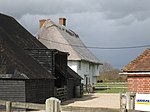
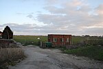
The Royal Military Canal is a canal running for 28 miles (45 km) between Seabrook near Folkestone and Cliff End near Hastings, following the old cliff line bordering Romney Marsh, which was constructed as a defence against the possible invasion of England during the Napoleonic Wars.
Excerpt from the Wikipedia article Royal Military Canal (License: CC BY-SA 3.0, Authors, Images).Royal Military Canal
Military Road, Rother Playden
Geographical coordinates (GPS) Address Nearby Places Show on map
Geographical coordinates (GPS)
| Latitude | Longitude |
|---|---|
| N 50.977617 ° | E 0.755215 ° |
Address
Military Road
Military Road
TN31 7QE Rother, Playden
England, United Kingdom
Open on Google Maps


