Zegwaart
Former municipalities of South HollandSouth Holland geography stubs
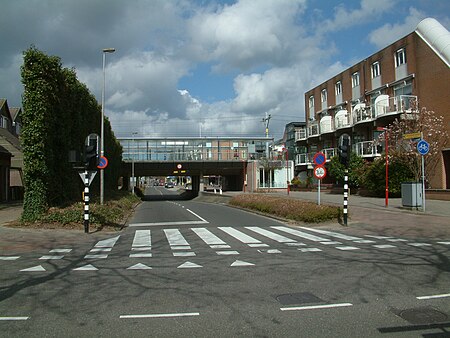
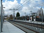
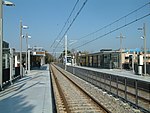
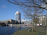
Zegwaart (or Zegwaard) was a village in the Dutch province of South Holland. It was located directly to the east of Zoetermeer. Around 1978 a division of Zoetermeer was named after the old village and got the name Seghwaert. Zegwaart was a separate municipality until 1935, when it became part of Zoetermeer, using the archaic spelling of the locale's name Seghwaert. The old Zegwaart was a ribbon development along what remains until today as Zegwaartseweg, which is perpendicular to Dorpstraat. It is further divided into Seghwaert-Oost (2723), -Midden (2724) and -Noord (2727).
Excerpt from the Wikipedia article Zegwaart (License: CC BY-SA 3.0, Authors, Images).Zegwaart
Madelieventuin, Zoetermeer
Geographical coordinates (GPS) Address Nearby Places Show on map
Geographical coordinates (GPS)
| Latitude | Longitude |
|---|---|
| N 52.066666666667 ° | E 4.5166666666667 ° |
Address
Madelieventuin 8
2724 PK Zoetermeer
South Holland, Netherlands
Open on Google Maps
