Weston, Massachusetts

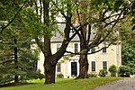
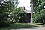
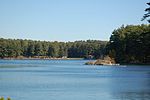
Weston is a town in Middlesex County, Massachusetts, about 15 miles west of Boston. At the time of the 2020 United States Census, the population of Weston was 11,851.Weston was incorporated in 1713, and protection of the town's historic resources is driven by the Weston Historical Commission and Weston Historical Society. The town has one Local Historic District, 10 National Register Districts, 26 Historic Areas, and seven houses individually listed on the National Register of Historic Places.Weston's predominance as a residential community is reflected in its population density, which is among the lowest of Boston's suburbs near or within Route 128. More than 2,000 acres, or 18 percent of the town's total acreage, have been preserved as parks, fields, wetlands, and forests, with 90 miles of trails for hiking, horseback riding, and cross-country skiing. Thirty-seven scenic roads, as defined by Massachusetts law, maintain the town's aesthetic value and historical significance, affording Weston a semi-rural ambiance. The town is an upper class suburb of Boston, and is among the most affluent in New England.
Excerpt from the Wikipedia article Weston, Massachusetts (License: CC BY-SA 3.0, Authors, Images).Weston, Massachusetts
Boston Post Road,
Geographical coordinates (GPS) Address Nearby Places Show on map
Geographical coordinates (GPS)
| Latitude | Longitude |
|---|---|
| N 42.366666666667 ° | E -71.303055555556 ° |
Address
Boston Post Road 500;506;510;512
02493
Massachusetts, United States
Open on Google Maps


