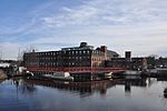
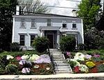
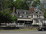
Methuen, Massachusetts

Methuen () is a 23-square-mile (60 km2) city in Essex County, Massachusetts, United States. The population was 53,059 at the 2020 census. Methuen lies along the northwestern edge of Essex County, just east of Middlesex County and just south of Rockingham County, New Hampshire. The city is bordered by Haverhill to the northeast, North Andover to the southeast, Lawrence and Andover to the south, Dracut (Middlesex County) to the west, Pelham, New Hampshire (Hillsborough County) to the northwest, and Salem, New Hampshire (Rockingham County) to the north. Methuen is located 17 miles (27 km) southwest from Newburyport, 30 miles (48 km) north-northwest of Boston and 25 miles (40 km) south-southeast of Manchester, New Hampshire.
Excerpt from the Wikipedia article Methuen, Massachusetts (License: CC BY-SA 3.0, Authors, Images).Methuen, Massachusetts
Pelham Street, Methuen
Geographical coordinates (GPS) Address Nearby Places Show on map
Geographical coordinates (GPS)
| Latitude | Longitude |
|---|---|
| N 42.726111111111 ° | E -71.191388888889 ° |
Address
Pelham Street 15
01841 Methuen
Massachusetts, United States
Open on Google Maps


