Miles Platting

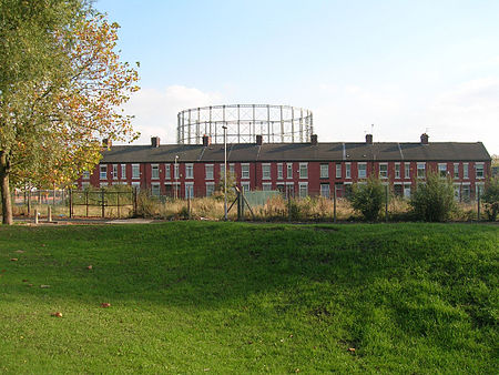
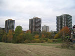
Miles Platting is an inner city part of Manchester, England, 1.4 miles (2.3 km) northeast of Manchester city centre along the Rochdale Canal and A62 road, bounded by Monsall to the north, Collyhurst to the west, Newton Heath to the east, and Bradford, Holt Town and Ancoats to the south. Historically part of the township of Newton Heath, Lancashire, Miles Platting expanded into a factory district as a result of the Industrial Revolution. That industrial growth resulted in a population that became very large for the size of the district, resulting in densely packed terraced housing that had degenerated into slums by 1950. As a result of this, crime rose and the area became an economically deprived part of the city. Miles Platting has undergone extensive redevelopment and regeneration, with former slum terraces removed to make way for council housing.
Excerpt from the Wikipedia article Miles Platting (License: CC BY-SA 3.0, Authors, Images).Miles Platting
Lower Vickers Street, Manchester Miles Platting
Geographical coordinates (GPS) Address Nearby Places Show on map
Geographical coordinates (GPS)
| Latitude | Longitude |
|---|---|
| N 53.489167 ° | E -2.215833 ° |
Address
Lower Vickers Street
M40 7LX Manchester, Miles Platting
England, United Kingdom
Open on Google Maps


