Cowley, Derbyshire
Derbyshire geography stubsHamlets in DerbyshireNorth East Derbyshire District

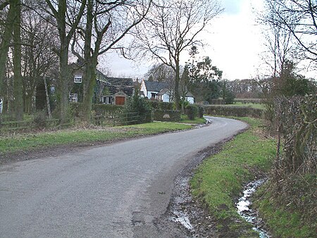
Cowley is a small dispersed hamlet in North East Derbyshire, consisting of a few private houses and functioning farms strung out along Cowley Lane, which runs between the village of Holmesfield and the "Hill Top" neighbourhood of the town of Dronfield (where the population is included). Until 2001 it held an annual well dressing in the grounds of Cowley Mission, a small chapel founded in 1888 and still active.
Excerpt from the Wikipedia article Cowley, Derbyshire (License: CC BY-SA 3.0, Authors, Images).Cowley, Derbyshire
Cowley Lane, North East Derbyshire Holmesfield
Geographical coordinates (GPS) Address Nearby Places Show on map
Geographical coordinates (GPS)
| Latitude | Longitude |
|---|---|
| N 53.289 ° | E -1.493 ° |
Address
Cowley Lane
Cowley Lane
S18 7SD North East Derbyshire, Holmesfield
England, United Kingdom
Open on Google Maps


