Lilyfield, New South Wales

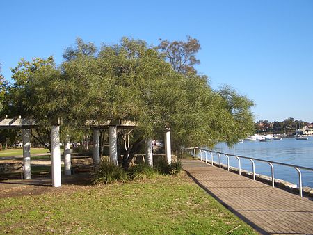
Lilyfield is a suburb in the Inner West of Sydney, in the state of New South Wales, Australia. Lilyfield is located 6 kilometres west of the Sydney central business district, in the local government area of the Inner West Council. Lilyfield is nestled in between the suburbs of Annandale, Rozelle and Leichhardt and is bounded to the west by Iron Cove. Originally a working-class area, today Lilyfield like many inner-city suburbs is becoming increasingly gentrified. Property investors, eager to capitalise on the suburb's proximity to the Sydney CBD, have purchased many of the original workers' cottages to renovate or develop. Although predominantly middle class, the suburb still retains some of its working-class roots and like its neighbouring suburbs, is home to people from diverse cultural and ethnic backgrounds.
Excerpt from the Wikipedia article Lilyfield, New South Wales (License: CC BY-SA 3.0, Authors, Images).Lilyfield, New South Wales
Lilyfield Road, Sydney Lilyfield
Geographical coordinates (GPS) Address Nearby Places Show on map
Geographical coordinates (GPS)
| Latitude | Longitude |
|---|---|
| N -33.873055555556 ° | E 151.16611111111 ° |
Address
Lilyfield Road
Lilyfield Road
2040 Sydney, Lilyfield
New South Wales, Australia
Open on Google Maps


