Fishbourne, Isle of Wight

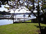
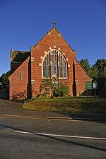
Fishbourne is a village between Wootton and Ryde, on the Isle of Wight. The name "Fishbourne" might mean "stream of fish" or "fish spring."It is positioned on the eastern bank of Wootton Creek, and includes the terminal for the Wightlink car ferry from Portsmouth. Fishbourne, together with the adjoining Kite Hill area, became a civil parish in 2006 and has a parish council. The parish includes the ruined Norman abbey (founded 1132) and the Benedictine monastery including Quarr Abbey (founded in the early 1900s). The Royal Victoria Yacht Club and the 'Fishbourne Inn' are located near the ferry terminal. Public transport is provided by Southern Vectis bus routes 4 and 9, which stop on the main road, and operate to East Cowes, Newport and Ryde.
Excerpt from the Wikipedia article Fishbourne, Isle of Wight (License: CC BY-SA 3.0, Authors, Images).Fishbourne, Isle of Wight
Ranalagh Drive,
Geographical coordinates (GPS) Address Nearby Places Show on map
Geographical coordinates (GPS)
| Latitude | Longitude |
|---|---|
| N 50.732 ° | E -1.215 ° |
Address
Ranalagh Drive
Ranalagh Drive
PO33 4EB , Fishbourne
England, United Kingdom
Open on Google Maps


