Weston, Connecticut

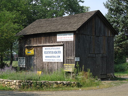
Weston is a town in Fairfield County, Connecticut, United States. The population was 10,354 at the 2020 census and had the highest median income in the state of Connecticut. The town is part of the Western Connecticut Planning Region. The town is served by Route 57 and Route 53, both of which run through the town center. About 19% of the town's workforce commutes to New York City, about 45 miles (72 km) to the southwest.In 2017, SafeWise ranked Weston the safest town in Connecticut and the 6th safest town in the country.Weston is the closest Connecticut town to New York City without a train station. Aside from a handful of stores that form the town's center, Weston has little commercial development and residential development is limited by two-acre zoning. Most of Devil's Den Preserve, a 1,746-acre (707 ha) nature reserve, which gets 40,000 visits a year, is located in the town.
Excerpt from the Wikipedia article Weston, Connecticut (License: CC BY-SA 3.0, Authors, Images).Weston, Connecticut
Laurel Lake East,
Geographical coordinates (GPS) Address Nearby Places Show on map
Geographical coordinates (GPS)
| Latitude | Longitude |
|---|---|
| N 41.225555555556 ° | E -73.370555555556 ° |
Address
Laurel Lake East 15
06883
Connecticut, United States
Open on Google Maps


