Munkbrohamnen
Stockholm road stubsStreets in Stockholm

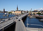
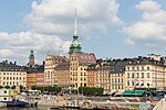
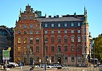
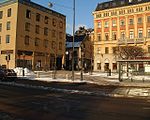
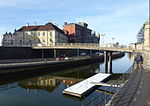
Munkbrohamnen (Swedish: "Monk's Bridge Harbour") is a quay and a footway passing along the western waterfront of Gamla stan, the old town in central Stockholm, Sweden. Stretching along the western side of Centralbron, the motorway and railway bridge passing north-south between the islands Stadsholmen and Riddarholmen, Munkbrohamnen offers pedestrian access from and to the metro station of the old town, and a panoramic view over the bay Riddarfjärden.
Excerpt from the Wikipedia article Munkbrohamnen (License: CC BY-SA 3.0, Authors, Images).Munkbrohamnen
Munkbrohamnen, Stockholm Gamla stan (Södermalms stadsdelsområde)
Geographical coordinates (GPS) Address External links Nearby Places Show on map
Geographical coordinates (GPS)
| Latitude | Longitude |
|---|---|
| N 59.322922222222 ° | E 18.066469444444 ° |
Address
Munkbrohamnen
Munkbrohamnen
Stockholm, Gamla stan (Södermalms stadsdelsområde)
Sweden
Open on Google Maps
