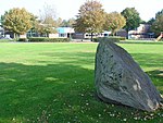
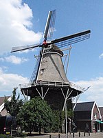
De Haar, Hoogeveen
Drenthe geography stubsHoogeveenPopulated places in Drenthe

De Haar is a hamlet in the Dutch province of Drenthe. It is located in the municipality of Hoogeveen, about 7 km northeast of that town.It was first mentioned in 1936 as Haar, and means "sandy ridge". It is considered part of Tiendeveen, and has about 85 houses.
Excerpt from the Wikipedia article De Haar, Hoogeveen (License: CC BY-SA 3.0, Authors, Images).De Haar, Hoogeveen
Kanaal Westzijde, Hoogeveen
Geographical coordinates (GPS) Address Nearby Places Show on map
Geographical coordinates (GPS)
| Latitude | Longitude |
|---|---|
| N 52.761 ° | E 6.549 ° |
Address
Kanaal Westzijde 18
7936 TL Hoogeveen
Drenthe, Netherlands
Open on Google Maps


