Twin Rivers, East Riding of Yorkshire
Civil parishes in the East Riding of YorkshireEast Riding of Yorkshire geography stubsUse British English from March 2011

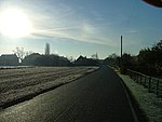
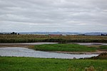
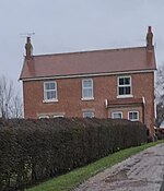
Twin Rivers is a civil parish in the East Riding of Yorkshire, England. It is situated along the south bank of the River Ouse to the east of the town of Goole, covering an area of 2,403.178 hectares (5,938.38 acres).The civil parish is formed by the villages of Adlingfleet and Whitgift and the hamlet of Ousefleet. The parish was part of the Goole Rural District in the West Riding of Yorkshire from 1894 to 1974, then in Boothferry district of Humberside until 1996.According to the 2011 UK census, Twin Rivers parish had a population of 367, an increase on the 2001 UK census figure of 357.
Excerpt from the Wikipedia article Twin Rivers, East Riding of Yorkshire (License: CC BY-SA 3.0, Authors, Images).Twin Rivers, East Riding of Yorkshire
Geographical coordinates (GPS) Address Nearby Places Show on map
Geographical coordinates (GPS)
| Latitude | Longitude |
|---|---|
| N 53.6836 ° | E -0.735 ° |
Address
Mains
DN14 8HY , Twin Rivers
England, United Kingdom
Open on Google Maps


