Calne
CalneCivil parishes in WiltshireOpenDomesdayTowns in WiltshireUse British English from May 2020

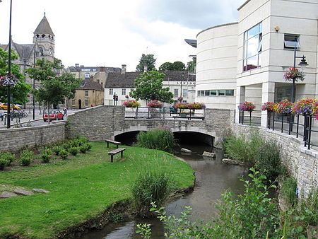
Calne () is a town and civil parish in Wiltshire, southwestern England, at the northwestern extremity of the North Wessex Downs hill range, a designated Area of Outstanding Natural Beauty. Calne is on a small river, the Marden, that rises 2 miles (3 kilometres) away in the Wessex Downs, and is the only town on that river. It is on the A4 road national route 19 mi (31 km) east of Bath, 6 mi (10 km) east of Chippenham, 13 mi (21 km) west of Marlborough and 16 mi (26 km) southwest of Swindon. Wiltshire's county town of Trowbridge is 15 mi (24 km) to the southwest, with London 82 mi (132 km) due east as the crow flies. At the 2021 Census, Calne had 19,074 inhabitants.
Excerpt from the Wikipedia article Calne (License: CC BY-SA 3.0, Authors, Images).Calne
Church Street,
Geographical coordinates (GPS) Address Phone number Website Nearby Places Show on map
Geographical coordinates (GPS)
| Latitude | Longitude |
|---|---|
| N 51.438 ° | E -2.005 ° |
Address
Calne Town Council
Church Street
SN11 0EN , Quemerford
England, United Kingdom
Open on Google Maps


