Utkinton
Cheshire West and ChesterFormer civil parishes in CheshireUse British English from February 2021Villages in Cheshire

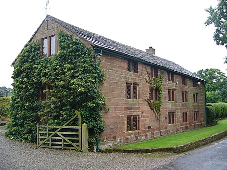
Utkinton is a village and former civil parish, now in the parishes of Utkinton and Cotebrook, in the unitary authority area of Cheshire West and Chester and the ceremonial county of Cheshire, England. It is approximately 2 miles (3.2 km) north of Tarporley, 8 miles (13 km) west of Winsford and 9 miles (14 km) east of Chester. The upper part of Utkinton is known as 'Quarry Bank'. Utkinton is at the heart of the local farming community. The area is also on the Sandstone Trail. At the time of the 2001 census the population of the parish was 651, increasing to 706 by the 2011 census.
Excerpt from the Wikipedia article Utkinton (License: CC BY-SA 3.0, Authors, Images).Utkinton
John Street,
Geographical coordinates (GPS) Address Nearby Places Show on map
Geographical coordinates (GPS)
| Latitude | Longitude |
|---|---|
| N 53.183333 ° | E -2.683333 ° |
Address
John Street
John Street
CW6 0LU , Utkinton and Cotebrook
England, United Kingdom
Open on Google Maps


