Rednal
Areas of Birmingham, West MidlandsEngvarB from February 2018History of the West Midlands (county)

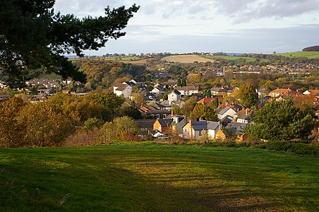
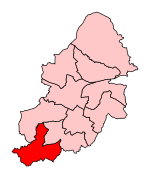
Rednal is a residential suburb on the south western edge of metropolitan Birmingham, West Midlands, England, 9 miles (14 kilometres) southwest of Birmingham city centre and forming part of Longbridge parish and electoral ward. Rednal is home to approximately 2,000 residents. The suburb is located in a triangle formed by Rubery and the Bristol Road South to the north and north west, the former MG Rover car factory to the south east and the Lickey Hills and Cofton Hackett Park just south. The popular rural Lickey Hills Country Park is 1⁄2 mile (800 metres) south of Rednal, with Rednal Hill being the nearest peak.
Excerpt from the Wikipedia article Rednal (License: CC BY-SA 3.0, Authors, Images).Rednal
Dalmuir Road, Birmingham
Geographical coordinates (GPS) Address Nearby Places Show on map
Geographical coordinates (GPS)
| Latitude | Longitude |
|---|---|
| N 52.391 ° | E -1.988 ° |
Address
Dalmuir Road
Dalmuir Road
B31 2GY Birmingham
England, United Kingdom
Open on Google Maps


