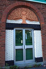
Birchfield, Birmingham

Birchfield is located in and between Perry Barr, Aston, Handsworth Wood. Birchfield shares the B6 and B20 postcode with surrounding areas Handsworth Wood, Aston and Perry Barr. The main roads within the area include Birchfield road, This leads on to towards Birmingham city centre. The area is home to many schools, including Birchfield Community Primary School. The churches include Holy Trinity parish church (Church of England), Perry Barr Methodist Church, Jehovah's Witnesses Gospel Hall in Trinity Road and the Birchfield Gospel Hall.The Birchfield Harriers were named after the area. The area is represented by Khalid Mahmood, the Labour MP for Birmingham Perry Barr. It is also represented by a Labour councillor.
Excerpt from the Wikipedia article Birchfield, Birmingham (License: CC BY-SA 3.0, Authors, Images).Birchfield, Birmingham
Hatfield Road, Birmingham
Geographical coordinates (GPS) Address Nearby Places Show on map
Geographical coordinates (GPS)
| Latitude | Longitude |
|---|---|
| N 52.505956 ° | E -1.903811 ° |
Address
Hatfield Road
Hatfield Road
B19 1JR Birmingham
England, United Kingdom
Open on Google Maps


