South Yorkshire Way
Footpaths in South YorkshireFootpaths in West YorkshireLong-distance footpaths in EnglandUse British English from March 2022

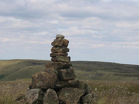
The South Yorkshire Way is the name for two interlinked Long Distance footpaths in the county of South Yorkshire. The Boundary Route is a 171-mile (275 km) route around the outskirts of the county, whilst the Central Route is a 98-mile (158 km) route through the heart of the county. Both trails start and end at the same points; Thorne North railway station and Dore & Totley railway station. They were devised by Andrew White in 2014 to commemorate the 40th anniversary of the formation of South Yorkshire as a county.
Excerpt from the Wikipedia article South Yorkshire Way (License: CC BY-SA 3.0, Authors, Images).South Yorkshire Way
Casson's Road, Doncaster Thorne
Geographical coordinates (GPS) Address Nearby Places Show on map
Geographical coordinates (GPS)
| Latitude | Longitude |
|---|---|
| N 53.6162 ° | E -0.9724 ° |
Address
Thorne North
Casson's Road
DN8 4JA Doncaster, Thorne
England, United Kingdom
Open on Google Maps


