Oud Herlaer
Buildings and structures demolished in 1737Castle in Sint-Michielsgestel municipalityDemolished buildings and structures in the Netherlands

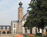
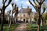
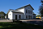
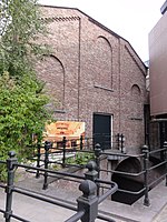
Oud Herlaer was a castle on the Dommel just east of Vught. All that remains is a farm which incorporates parts of the old castle. While not that much remains of the castle, there are a lot of recent studies about Oud Herlaer and its owners. The farm is planned to be opened as an art center in 2021. The name Oud Herlaer, (oud means 'old'), signifies that later on Nieuw-Herlaer Castle was built about 1 kilometer upstream.
Excerpt from the Wikipedia article Oud Herlaer (License: CC BY-SA 3.0, Authors, Images).Oud Herlaer
Oud Herlaer, Sint-Michielsgestel
Geographical coordinates (GPS) Address Website Nearby Places Show on map
Geographical coordinates (GPS)
| Latitude | Longitude |
|---|---|
| N 51.659846 ° | E 5.312569 ° |
Address
Oud Herlaer
Oud Herlaer
5271 TT Sint-Michielsgestel
North Brabant, Netherlands
Open on Google Maps


