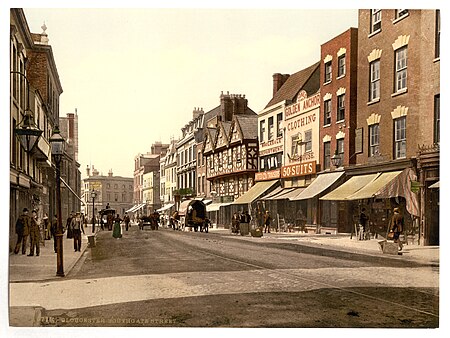
Southgate Street
England road stubsStreets in Gloucester

Southgate Street is one of the ancient streets in the City of Gloucester, so named because its southern end was originally the location of the south gate in the city's walls. The part beyond the gate as far as Severn Street was sometimes known as Lower Southgate Street. It runs from the crossroads of Northgate, Eastgate, Southgate, and Westgate Streets in the north (The Cross) to Bristol Road in the south.
Excerpt from the Wikipedia article Southgate Street (License: CC BY-SA 3.0, Authors, Images).Southgate Street
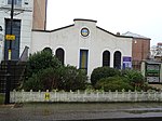
Southgate Street, Gloucester Linden
Geographical coordinates (GPS) Address Nearby Places Show on map
Geographical coordinates (GPS)
| Latitude | Longitude |
|---|---|
| N 51.8625 ° | E -2.2495 ° |
Address
Gloucester Docks Car Park
Southgate Street
GL1 2DB Gloucester, Linden
England, United Kingdom
Open on Google Maps


