Ruyton-XI-Towns
Civil parishes in ShropshireVillages in Shropshire

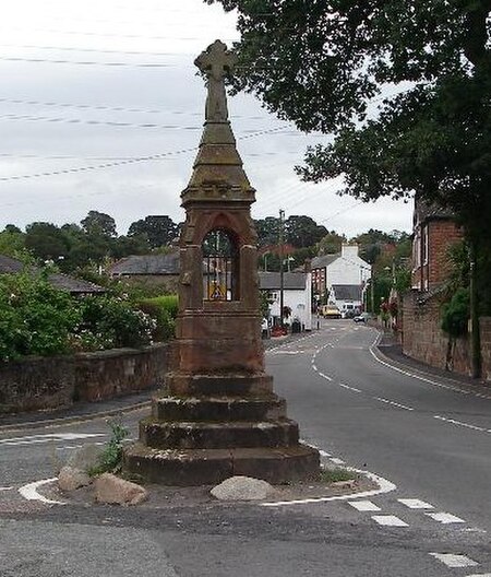
Ruyton-XI-Towns ( "ry-tən eleven towns"), formally Ruyton of the Eleven Towns or simply Ruyton, is a village and civil parish next to the River Perry in Shropshire, England. It had a population of 1,379 at the 2011 Census. The preparatory school Packwood Haugh is north of the village. Footpaths south of the village lead to the sandstone promontory known as The Cliffe. It is still an area of common land, which is the northern section of the Nesscliffe Hill Country Park.
Excerpt from the Wikipedia article Ruyton-XI-Towns (License: CC BY-SA 3.0, Authors, Images).Ruyton-XI-Towns
Gooseberry Lane,
Geographical coordinates (GPS) Address Nearby Places Show on map
Geographical coordinates (GPS)
| Latitude | Longitude |
|---|---|
| N 52.793 ° | E -2.899 ° |
Address
Gooseberry Lane
Gooseberry Lane
SY4 1LG
England, United Kingdom
Open on Google Maps


