Hornberg (Breisgau)
BadenBreisgau-HochschwarzwaldMountains and hills of Baden-WürttembergMountains and hills of the Black Forest

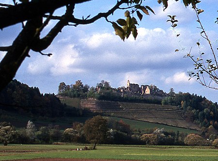
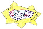
The Hornberg is a hill in the northern Breisgau in Baden-Württemberg, Germany. It is an outlier of the Black Forest, running as a north-south ridge between the villages of Windenreute, Kollmarsreute and Sexau into the Upper Rhine Plain. At its northern end is the Hochburg, one of the largest fortresses in South Baden. At its highest point the Hornberg almost reaches a height of 357 metres.
Excerpt from the Wikipedia article Hornberg (Breisgau) (License: CC BY-SA 3.0, Authors, Images).Hornberg (Breisgau)
Höheweg, VVG der Stadt Emmendingen
Geographical coordinates (GPS) Address Nearby Places Show on map
Geographical coordinates (GPS)
| Latitude | Longitude |
|---|---|
| N 48.108333333333 ° | E 7.8980555555556 ° |
Address
Höheweg
Höheweg
79312 VVG der Stadt Emmendingen
Baden-Württemberg, Germany
Open on Google Maps


