Beattock

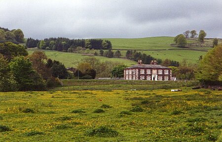
Beattock is a village in Dumfries and Galloway, Scotland, approximately 1⁄2 mile (800 metres) southwest of Moffat and 19 miles (31 kilometres) north of Dumfries. Beattock was historically served by the A74 road and the West Coast Main Line, however the road has since been upgraded to the A74(M) motorway and no longer passes through the village. Beattock railway station was closed in 1972. Beattock Summit is located approximately 10 miles (16 km) to the north of the village in the neighbouring administrative area of South Lanarkshire. At 1,033 ft (315 m) it is the highest point on both the M74, and on the West Coast Main Line within Scotland. The poet W. H. Auden's 1936 work Night Mail makes reference to the summit. The Southern Upland Way and the Annandale Way run close to the village.
Excerpt from the Wikipedia article Beattock (License: CC BY-SA 3.0, Authors, Images).Beattock
Crooked Road,
Geographical coordinates (GPS) Address Nearby Places Show on map
Geographical coordinates (GPS)
| Latitude | Longitude |
|---|---|
| N 55.308 ° | E -3.458 ° |
Address
Beattock North Junction
Crooked Road
DG10 9SG
Scotland, United Kingdom
Open on Google Maps


