Cleadon

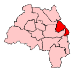
Cleadon is a suburban village in South Tyneside in the North East of England. Prior to the creation of Tyne and Wear in 1974 by the Local Government Act 1972, the village was part of the historic County Durham. In the 2011 UK Census the population of the South Tyneside ward of Cleadon and East Boldon was 8,427. Nearby population centres include East Boldon, Whitburn, and Jarrow. The village is located approximately 5 miles (8 km) from the city of Sunderland and 5 miles from the town South Shields. It is situated on the south west of Cleadon Hills, an example of a Magnesian Limestone grassland home to a number of regionally and nationally rare species. For much of its history, the economy of Cleadon was based around agriculture. Now it is largely residential and has developed as a commuter town. The village has two churches, a primary school, and a commercial core with shops and pubs.
Excerpt from the Wikipedia article Cleadon (License: CC BY-SA 3.0, Authors, Images).Cleadon
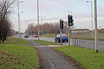
North Street, South Tyneside
Geographical coordinates (GPS) Address Nearby Places Show on map
Geographical coordinates (GPS)
| Latitude | Longitude |
|---|---|
| N 54.9554 ° | E -1.4008 ° |
Address
JET
North Street
SR6 7PL South Tyneside
England, United Kingdom
Open on Google Maps


