Rincon Point (San Francisco)
Landforms of San Francisco

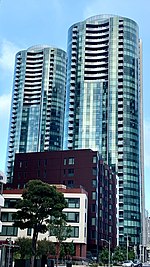
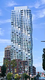
Rincon Point, was a cape marking the southern extremity of Yerba Buena Cove in what is now San Francisco, California. Rincón is Spanish for "corner", and the point formed the southern corner of the cove. With the cove filled in and the Point landlocked, it is now the location where the Oakland Bay Bridge terminates in San Francisco.
Excerpt from the Wikipedia article Rincon Point (San Francisco) (License: CC BY-SA 3.0, Authors, Images).Rincon Point (San Francisco)
San Francisco – Oakland Bay Bridge, San Francisco
Geographical coordinates (GPS) Address Nearby Places Show on map
Geographical coordinates (GPS)
| Latitude | Longitude |
|---|---|
| N 37.788888888889 ° | E -122.38694444444 ° |
Address
San Francisco – Oakland Bay Bridge (Willie L. Brown Jr. Bridge)
San Francisco – Oakland Bay Bridge
94017 San Francisco
California, United States
Open on Google Maps


