Battery Park City

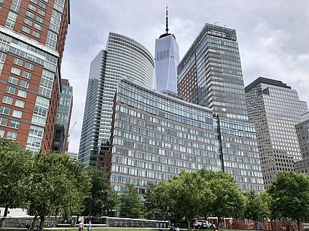
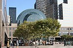
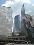
Battery Park City is a mainly residential 92-acre (37 ha) planned community and neighborhood on the west side of the southern tip of the island of Manhattan in New York City. It is bounded by the Hudson River on the west, the Hudson River shoreline on the north and south, and the West Side Highway on the east. The neighborhood is named for The Battery, formerly known as Battery Park, located directly to the south. More than one-third of the development is parkland. The land upon which it is built was created by land reclamation on the Hudson River using over 3 million cubic yards (2.3×10^6 m3) of soil and rock excavated during the construction of the World Trade Center, the New York City Water Tunnel, and certain other construction projects, as well as from sand dredged from New York Harbor off Staten Island. The neighborhood includes Brookfield Place (formerly the World Financial Center), along with numerous buildings designed for housing, commercial, and retail. Battery Park City is part of Manhattan Community District 1. It is patrolled by the 1st Precinct of the New York City Police Department.
Excerpt from the Wikipedia article Battery Park City (License: CC BY-SA 3.0, Authors, Images).Battery Park City
Liberty Street, New York Manhattan
Geographical coordinates (GPS) Address Website Nearby Places Show on map
Geographical coordinates (GPS)
| Latitude | Longitude |
|---|---|
| N 40.713 ° | E -74.016 ° |
Address
225 Liberty Street (Two World Financial Center)
Liberty Street 225
10281 New York, Manhattan
New York, United States
Open on Google Maps


