Wyre Forest
English royal forestsEngvarB from October 2013Forests and woodlands of ShropshireForests and woodlands of WorcestershireNational nature reserves in England ... and 7 more
Nature Conservation Review sitesNature reserves in WorcestershireSites of Special Scientific Interest in ShropshireSites of Special Scientific Interest in WorcestershireTourist attractions in ShropshireTourist attractions in WorcestershireWoodland Sites of Special Scientific Interest

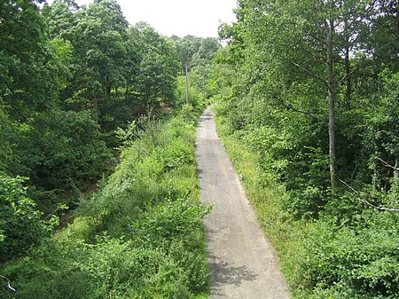
Wyre Forest is a large, semi-natural (partially unmanaged) woodland and forest measuring 26.34 square kilometres (10.17 sq mi) which straddles the borders of Worcestershire and Shropshire, England. Knowles Mill, a former corn mill owned by the National Trust, lies within the forest.
Excerpt from the Wikipedia article Wyre Forest (License: CC BY-SA 3.0, Authors, Images).Wyre Forest
Dowles Road,
Geographical coordinates (GPS) Address Nearby Places Show on map
Geographical coordinates (GPS)
| Latitude | Longitude |
|---|---|
| N 52.385 ° | E -2.3686111111111 ° |
Address
Dowles Road
DY12 3AG
England, United Kingdom
Open on Google Maps


