Monks Park
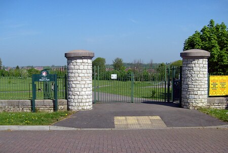
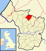
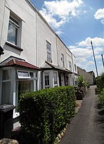
Monks Park is a northern suburb of the city of Bristol, England and is the highest point within the city. Monks Park stretches westward, towards Southmead, from the A38 trunk road. Filton Park lies directly north, on the South Gloucestershire side of the city boundary. Horfield lies to the east of the A38 and also to the south. Monks Park takes its name from James Henry Monk, a nineteenth-century bishop of Gloucester and Bristol. The first development in Monks Park took place in the 1930s. Housing is mainly privately owned and semi-detached. Southmead Hospital, Bristol's largest hospital, occupies the south west corner of the suburb. There are two primary schools (Upper Horfield and St Teresa's RC) and Orchard School Bristol, formerly known as Monks Park School prior to 2009.
Excerpt from the Wikipedia article Monks Park (License: CC BY-SA 3.0, Authors, Images).Monks Park
Southmead Road, Bristol Southmead
Geographical coordinates (GPS) Address Phone number Website Nearby Places Show on map
Geographical coordinates (GPS)
| Latitude | Longitude |
|---|---|
| N 51.49841 ° | E -2.58918 ° |
Address
Southmead Hospital
Southmead Road
BS10 5NB Bristol, Southmead
England, United Kingdom
Open on Google Maps


