Ludwigsfelde
Localities in Teltow-FlämingTeltow (region)Towns in Brandenburg

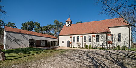
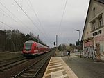
Ludwigsfelde is a town in the north of the district Teltow-Fläming in Brandenburg.
Excerpt from the Wikipedia article Ludwigsfelde (License: CC BY-SA 3.0, Authors, Images).Ludwigsfelde
Albert-Tanneur-Straße,
Geographical coordinates (GPS) Address Nearby Places Show on map
Geographical coordinates (GPS)
| Latitude | Longitude |
|---|---|
| N 52.299722222222 ° | E 13.266666666667 ° |
Address
Albert-Tanneur-Straße
Albert-Tanneur-Straße
14974 (Ludwigsfelde)
Brandenburg, Germany
Open on Google Maps


