Niederkassel
Cologne region geography stubsTowns in North Rhine-Westphalia

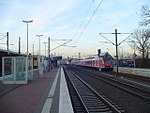
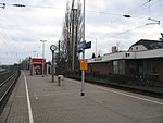
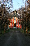
Niederkassel (Ripuarian: Neddekaaßel) is a town in the Rhein-Sieg district, in North Rhine-Westphalia, Germany, with a population of around 37,000 people. It is situated on the right bank of the Rhine, approx. 10 km (6 mi) north-east of Bonn and 15 km (9 mi) south-east of Cologne. Niederkassel is subdivided into seven quarters (from the south to the north): Mondorf, Rheidt, Niederkassel, Uckendorf, Stockem, Lülsdorf and Ranzel. People can walk next to the river Rhine in Lülsdorf, Niederkassel and Rheidt.
Excerpt from the Wikipedia article Niederkassel (License: CC BY-SA 3.0, Authors, Images).Niederkassel
Römerweg,
Geographical coordinates (GPS) Address Nearby Places Show on map
Geographical coordinates (GPS)
| Latitude | Longitude |
|---|---|
| N 50.816666666667 ° | E 7.0333333333333 ° |
Address
Römerweg 8
53859 (Niederkassel)
North Rhine-Westphalia, Germany
Open on Google Maps


