Kesselberg (Haardt)
Mountains and hills of Rhineland-PalatinateMountains and hills of the Palatinate ForestMountains under 1000 metresSüdliche Weinstraße

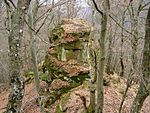
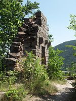
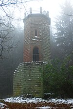
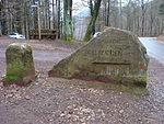
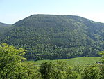
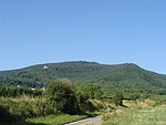
The Kesselberg near Edenkoben in the German state of Rhineland-Palatinate (Südliche Weinstraße county) is a mountain, 661.8 m above sea level (NHN), It is second highest peak in the Palatine Forest region after the Kalmit (672.6 m) and also the third highest mountain in the Palatinate region (highest: Donnersberg 686.5 m).
Excerpt from the Wikipedia article Kesselberg (Haardt) (License: CC BY-SA 3.0, Authors, Images).Kesselberg (Haardt)
Sprater-Pfad, Edenkoben
Geographical coordinates (GPS) Address Nearby Places Show on map
Geographical coordinates (GPS)
| Latitude | Longitude |
|---|---|
| N 49.2845 ° | E 8.0449 ° |
Address
Elvetritsche Bad
Sprater-Pfad
67480 Edenkoben
Rhineland-Palatinate, Germany
Open on Google Maps
