Koło, Warsaw
Neighbourhoods of WarsawWarsaw geography stubsWola

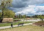
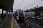
Koło is one of the neighbourhoods of the Wola district of Warsaw, Poland. It is bounded to the north and west by the border with Bemowo, to the south by Górczewska Street and to the east by the Warsaw Circumferal railway line.
Excerpt from the Wikipedia article Koło, Warsaw (License: CC BY-SA 3.0, Authors, Images).Koło, Warsaw
Deotymy, Warsaw Wola (Warsaw)
Geographical coordinates (GPS) Address Nearby Places Show on map
Geographical coordinates (GPS)
| Latitude | Longitude |
|---|---|
| N 52.2451 ° | E 20.9456 ° |
Address
Deotymy 43A
01-441 Warsaw, Wola (Warsaw)
Masovian Voivodeship, Poland
Open on Google Maps


