Otwock
Cities and towns in Masovian VoivodeshipHolocaust locations in PolandMasovian Voivodeship (1526–1795)Otwock CountyPopulated places on the Vistula ... and 1 more
Warsaw Voivodeship (1919–1939)

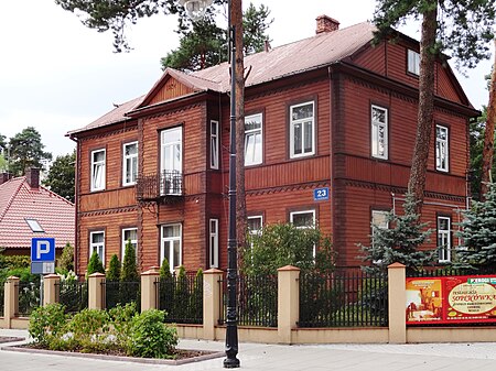
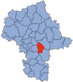
Otwock [ˈɔtfɔt͡sk] (Yiddish: אָטוואָצק) is a city in the Masovian Voivodship in east-central Poland, some 23 kilometres (14 mi) southeast of Warsaw, with 44,635 inhabitants (2019). Otwock is a part of the Warsaw metropolitan area. It is situated on the right bank of Vistula River below the mouth of Świder River. Otwock is home to a unique architectural style called Świdermajer. It is the capital of Otwock County. The town covers the area of 47 square kilometres (18 sq mi). Forested areas make up 23% of the territory, and there are several nature reserves.
Excerpt from the Wikipedia article Otwock (License: CC BY-SA 3.0, Authors, Images).Otwock
Bensberger Straße, Rösrath
Geographical coordinates (GPS) Address Nearby Places Show on map
Geographical coordinates (GPS)
| Latitude | Longitude |
|---|---|
| N 52.116666666667 ° | E 21.266666666667 ° |
Address
Bensberger Straße 239
51503 Rösrath
Nordrhein-Westfalen, Deutschland
Open on Google Maps


