A5038 road
England road stubsInfobox road instances in EnglandInfobox road maps tracking categoryRoads in EnglandTransport in Liverpool ... and 1 more
Use British English from January 2013

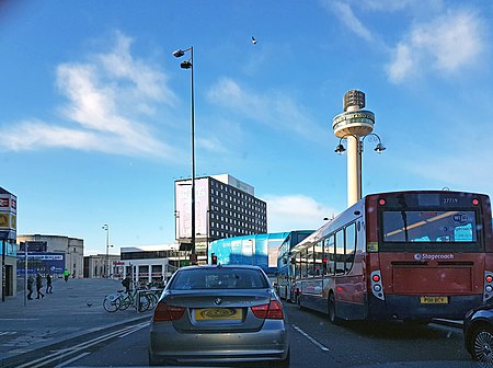
The A5038 is a road in Liverpool, England. It starts at Parliament Street, the A562 road it passes Lime Street railway station as Lime Street and the carries on to end as Netherton Way in Netherton with a junction with the A5036 road.
Excerpt from the Wikipedia article A5038 road (License: CC BY-SA 3.0, Authors, Images).A5038 road
Melrose Road, Liverpool Kirkdale
Geographical coordinates (GPS) Address Nearby Places Show on map
Geographical coordinates (GPS)
| Latitude | Longitude |
|---|---|
| N 53.43948 ° | E -2.98133 ° |
Address
Kirkdale
Melrose Road
L4 1UJ Liverpool, Kirkdale
England, United Kingdom
Open on Google Maps


