Danville (CDP), Vermont
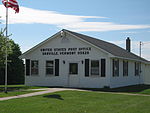
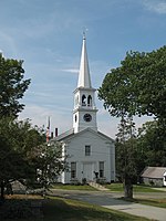
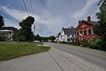
Danville is the primary village and a census-designated place (CDP) in the town of Danville, Caledonia County, Vermont, United States. As of the 2020 census, the CDP had a population of 385, out of 2,335 in the entire town of Danville. The village is in west-central Caledonia County, south of the center of the town of Danville. U.S. Route 2 passes through the village, leading east 8 miles (13 km) to St. Johnsbury and southwest 27 miles (43 km) to Montpelier, the state capital. The village drains south to Brown Brook, a tributary of Joes Brook, and east to Water Andric. Joes Brook and Water Andric both flow southeast to the Passumpsic River, a south-flowing tributary of the Connecticut River.
Excerpt from the Wikipedia article Danville (CDP), Vermont (License: CC BY-SA 3.0, Authors).Danville (CDP), Vermont
Peacham Road,
Geographical coordinates (GPS) Address Nearby Places Show on map
Geographical coordinates (GPS)
| Latitude | Longitude |
|---|---|
| N 44.411111111111 ° | E -72.139722222222 ° |
Address
Peacham Road 101
05828
Vermont, United States
Open on Google Maps


