Ackerstraße
1750s in Prussia18th century in BerlinMittePrussian cultural sitesStreets in Berlin

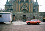
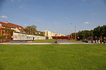
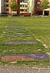
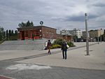
The Ackerstraße is a street in Berlin which runs northwest from near the Liesenstraße – Scheringstraße traffic circle in Gesundbrunnen to Invalidenstraße, where it turns south, terminating at the Linienstraße in Mitte.
Excerpt from the Wikipedia article Ackerstraße (License: CC BY-SA 3.0, Authors, Images).Ackerstraße
Ackerstraße, Berlin Mitte
Geographical coordinates (GPS) Address Nearby Places Show on map
Geographical coordinates (GPS)
| Latitude | Longitude |
|---|---|
| N 52.535401 ° | E 13.390317 ° |
Address
Acker / Bernauer
Ackerstraße
10115 Berlin, Mitte
Germany
Open on Google Maps
