Bernauer Straße
Berlin border crossingsMitteStreets in Berlin

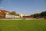
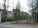
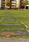
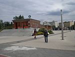
Bernauer Straße is a street of Berlin situated between the localities of Gesundbrunnen and Mitte, today both belonging to the Mitte borough. It runs from the Mauerpark at the corner of Prenzlauer Berg to the Nordbahnhof. The street's name refers to the town of Bernau bei Berlin, situated in Brandenburg. When Berlin was a divided city, the Berlin Wall erected in 1961 ran along this street. Bernauer Straße became famous for escapes from windows of apartment blocks in the eastern part of the city, down to the street, which was in the West. Several people died here when the border was first enforced.
Excerpt from the Wikipedia article Bernauer Straße (License: CC BY-SA 3.0, Authors, Images).Bernauer Straße
Bernauer Straße, Berlin Mitte
Geographical coordinates (GPS) Address Nearby Places Show on map
Geographical coordinates (GPS)
| Latitude | Longitude |
|---|---|
| N 52.535 ° | E 13.389722222222 ° |
Address
Gedenkstätte Berliner Mauer
Bernauer Straße
10115 Berlin, Mitte
Germany
Open on Google Maps
