Blackdown, West Sussex
Highest points of English countiesHills of West SussexMarilyns of EnglandNapoleonic beacons in EnglandNational Trust properties in West Sussex ... and 1 more
Nature reserves in West Sussex
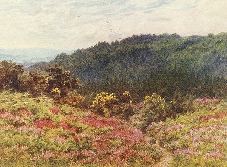
Blackdown, or Black Down, summit elevation 279.7 metres (918 ft) AMSL, is the highest point in both the historic county of Sussex and the South Downs National Park. It is one of the highest points in the south east of England, exceeded by Walbury Hill, Leith Hill and Pilot Hill. Blackdown is protected as part of the South Downs National Park.
Excerpt from the Wikipedia article Blackdown, West Sussex (License: CC BY-SA 3.0, Authors, Images).Blackdown, West Sussex
Pen-y-bos, Chichester Lurgashall
Geographical coordinates (GPS) Address Nearby Places Show on map
Geographical coordinates (GPS)
| Latitude | Longitude |
|---|---|
| N 51.0587 ° | E -0.6895 ° |
Address
Pen-y-bos
Pen-y-bos
GU27 3FL Chichester, Lurgashall
England, United Kingdom
Open on Google Maps
