Cuerden
Civil parishes in LancashireGeography of ChorleyLancashire geography stubsUse British English from March 2015Villages in Lancashire

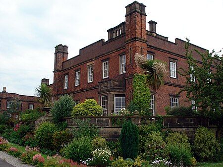
Cuerden is a village and civil parish of the Borough of Chorley, in Lancashire, England. It is situated between Bamber Bridge and Leyland, and had a population of 77 in 2001. At the 2011 census the population was included within Clayton-le-Woods civil parish.
Excerpt from the Wikipedia article Cuerden (License: CC BY-SA 3.0, Authors, Images).Cuerden
Shady Lane,
Geographical coordinates (GPS) Address Nearby Places Show on map
Geographical coordinates (GPS)
| Latitude | Longitude |
|---|---|
| N 53.706 ° | E -2.66 ° |
Address
Shady Lane
Shady Lane
PR25 5TA , Clayton-le-Woods
England, United Kingdom
Open on Google Maps


