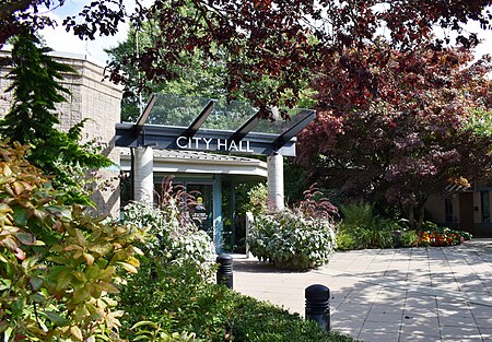
Pitt Meadows

Pitt Meadows is a municipality of Metro Vancouver in southwestern British Columbia, Canada. Incorporated in 1914, it has a land area of 86.34 square kilometres (33.34 sq mi) and a population of 19,146 as of 2021. The municipality received its name from the Pitt River and Pitt Lake. Pitt Meadows is one of 21 municipalities plus Electoral Area A that comprises the Metro Vancouver Regional District.Indigenous Peoples have resided in Pitt Meadows for approximately 1000 years. James McMillan explored the area in 1874. The Municipality of Maple Ridge, which included the Pitt Meadows area, was incorporated in 1874. In 1892, residents of the Pitt Meadows area petitioned for their removal from the District of Maple Ridge. In 1893, the first dyking district was organized; however, the Fraser River Flood of 1894 flooded many acres of land in Pitt Meadows. In 1914, Pitt Meadows was a small, agricultural community of less than 250 individuals which supplied Vancouver and New Westminster with produce and dairy products. In 1995, Pitt Meadows became a member municipality of Metro Vancouver. In 2007, the District of Pitt Meadows was incorporated as the City of Pitt Meadows. In 2014, Pitt Meadows' centennial occurred.
Excerpt from the Wikipedia article Pitt Meadows (License: CC BY-SA 3.0, Authors, Images).Pitt Meadows
Geographical coordinates (GPS) Address Nearby Places Show on map
Geographical coordinates (GPS)
| Latitude | Longitude |
|---|---|
| N 49.233333333333 ° | E -122.68333333333 ° |
Address
V3Y 2W1
British Columbia, Canada
Open on Google Maps


