place

Wanamie, Pennsylvania

Census-designated places in Luzerne County, PennsylvaniaPennsylvania geography stubsUnincorporated communities in Luzerne County, PennsylvaniaUnincorporated communities in PennsylvaniaUse mdy dates from July 2023
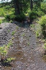
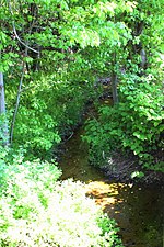
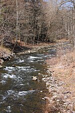
Wanamie, Pennsylvania streetscape

Wanamie is an unincorporated community and census-designated place in Newport Township, Luzerne County, Pennsylvania. It is located in the southwestern end of the Wyoming Valley and uses the Nanticoke zip code of 18634. The South Branch Newport Creek forms the natural eastern boundary of Wanamie and drains it northeastward via the Newport Creek into the Susquehanna River. The village is named after the Wanami tribe of the Lenni Lenape. As of the 2010 census, its population was 612.

Excerpt from the Wikipedia article Wanamie, Pennsylvania (License: CC BY-SA 3.0, Authors, Images).

Wanamie, Pennsylvania
West Main Avenue, Newport Township

Geographical coordinates (GPS) Address Nearby Places
placeShow on map

Wikipedia: Wanamie, PennsylvaniaContinue reading on Wikipedia

Geographical coordinates (GPS)

Latitude Longitude
N 41.173333333333 ° E -76.035555555556 °
placeShow on map

Address

West Main Avenue 1000
18634 Newport Township
Pennsylvania, United States
mapOpen on Google Maps

Wanamie, Pennsylvania streetscape
Share experience

Nearby Places

Luzerne County, Pennsylvania

Luzerne County is a county in the Commonwealth of Pennsylvania. According to the United States Census Bureau, the county has a total area of 906 square miles (2,350 km2), of which 890 square miles (2,300 km2) is land and 16 square miles (41 km2) is water. It is Northeastern Pennsylvania's second-largest county by total area. As of the 2020 census, the population was 325,594, making it the most populous county in the northeastern part of the state. The county seat and largest city is Wilkes-Barre. Other populous communities include Hazleton, Kingston, Nanticoke, and Pittston. Luzerne County is included in the Scranton–Wilkes-Barre–Hazleton Metropolitan Statistical Area, which has a total population of 555,426 as of 2017. On September 25, 1786, Luzerne County was formed from part of Northumberland County. It was named after Chevalier de la Luzerne, a French soldier and diplomat during the 18th century. When it was founded, Luzerne County occupied a large portion of Northeastern Pennsylvania. From 1810 to 1878, it was divided into several smaller counties. The counties of Bradford, Lackawanna, Susquehanna, and Wyoming were all formed from parts of Luzerne County.The county gained prominence in the 19th and 20th centuries as an active anthracite coal mining region, drawing a large portion of its labor force from European immigrants. At its peak (in 1930), the county's population was 445,109. Many factories and coal mines closed by the early 21st century. Like most regions in the Rust Belt, Luzerne County witnessed population loss and urban decay. However, in recent years, the economy has grown moderately; warehousing has replaced manufacturing as the main industry.