Walsh Island, New South Wales
History of Newcastle, New South WalesIslands of New South WalesNewcastle, New South Wales geography stubsUse Australian English from June 2020
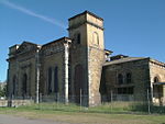
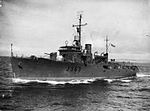
Walsh Island was a small island at the junction of the north and south arms of the Hunter River of New South Wales, Australia. The island was manmade as part of a land reclamation project in the late 1800s. The land was unused, until 1912 when it was announced as a site for a new Government Dockyard. The Walsh Island Dockyard was a major employer for Newcastle throughout the 1920s. The island was reclaimed by dredging and is now the eastern end of Kooragang Island. The end of Kooragang Island, Walsh Point, is the only part left.
Excerpt from the Wikipedia article Walsh Island, New South Wales (License: CC BY-SA 3.0, Authors).Walsh Island, New South Wales
Greenleaf Road, Newcastle-Maitland Kooragang
Geographical coordinates (GPS) Address Nearby Places Show on map
Geographical coordinates (GPS)
| Latitude | Longitude |
|---|---|
| N -32.903931 ° | E 151.775492 ° |
Address
Walsh Point Reserve
Greenleaf Road
2304 Newcastle-Maitland, Kooragang
New South Wales, Australia
Open on Google Maps


